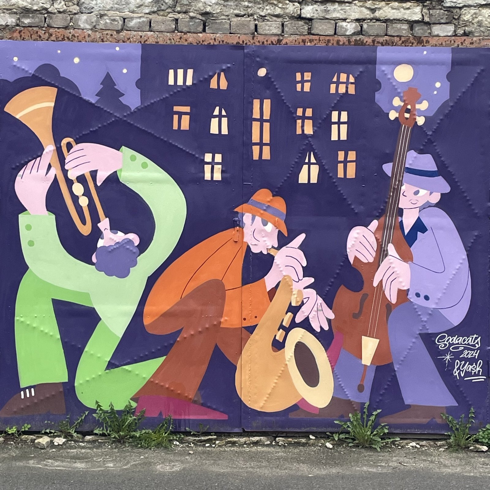
Home
Villardi (?)
Uncertain, known as Willase in 1875 after local peasant farmer Karl Willase (from willane/villane, woollen?) or Wilas, but recorded as Villari in an 1885 Tallinn guide book. Later, the Germans used Willarstrasse and Willertstrasse believing it named after local landlord Willert (wrong, he wasn’t around then). The street appeared as Villardi in a gazetteer of 1923, one year after a physical map of Estonia drawn by a certain Ad. Villard was published in Tallinn, suggesting a sequence of minor copying errors. Soviet occupation renaming (1950-1991): Laari J.
Roopa (Roobas)
Rail or rut. Here: railway. Interesting word: while ‘rut’ is the primary meaning, both literally and metaphorically, it is also closely paired with rööpa:rööbas, ‘rail’ as in trains or trams, and believed to originate from a sense of ‘sticking-out-i-ness’ as in ‘pile of stones or ice’, ‘edge of ice’, ‘frozen lump of snow’, evolving into ‘track or depression in the road’, with tramlines being the nice fit between raised and sunken. Street originated with Starcksche Straße (1875) after local surveyor Robert Starck who built the street on his land near Tehnika, switching into Raudtee aaru (prob. alt. spelling of Aru, dry, upland meadow), then various versions of increasingly Estonianized German for railway track: Schienenstraße (1907-1942), Shiini (1908), Schiini (1908-1921), Siini ( 1923) till the good ole Soviet regime decided on Tiivase A. (1959-1960), a one-time Bolshevik and member of the Tallinn Soviet.
Vesivärava (Vesivärav)
Watergate, named after the lock and sluice system controlling water to the harbor. Odd, at first glance, but not, apparently, à la coals to Newcastle: even harbor-masters wash their hands. The main historical source of water in Tallinn was the Härjapea river, starting at the N tip of lake Ülemiste reaching the sea somewhere N of Petrooleumi. Over time, pollution required cleaner sources, with water piped in from Pirita river. To supply Kadriorg, Peter I had the Kadriorg aka Peetri canal built, supplying the palace, park and fountains. By 1876, however, to ensure fresh water for shipping, a channel was built from the W end of running NW along what became first known as Schleusenstr (sluice, 1876) followed by its Rus. transliteration, Шлюзная (Shlyuznaya), Canal / Kanalstr (1882), through Wasserleitungsgasse (also 1882), Wasserleitungsstr (1893), and Neue Wasserleitungsstraße (1907) and earning its first Estonian name Uus-Veerenni from 1908-10 and its current one in 1923. Over time, the entire watercourse became covered over. All that remains is a solitary drinking-water fountain near Mäekalda.
Tormi (Torm)
Storm. Close enough to the sea to make sense!