Kõrgepea nukk (0)
High-head knoll. Not a street, a hill (or hilly area) some 60 m above sea level, one of the highest points in Tallinn, First mentioned in 1371 as a border marker of the city called variously Hohenhäubte (MHG) and hoghe houed or hoge höuet (MLG), translating as ‘high head’, the ‘u’ being understood as ‘v’, otherwise known as Kallapehe, meaning ‘bank-head’ or ‘on top of a klint escarpment’. See Lossi, The blue dot on the topographical map of Tallinn below marks the spot.
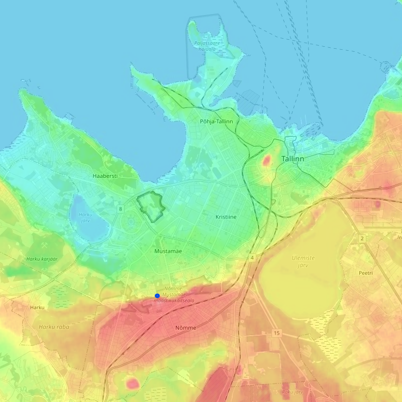
Detail of Tallinn elevations (blue dot indicates approximate location of Kõrgepea nukk) from topographic-map.com, see which for details.